|
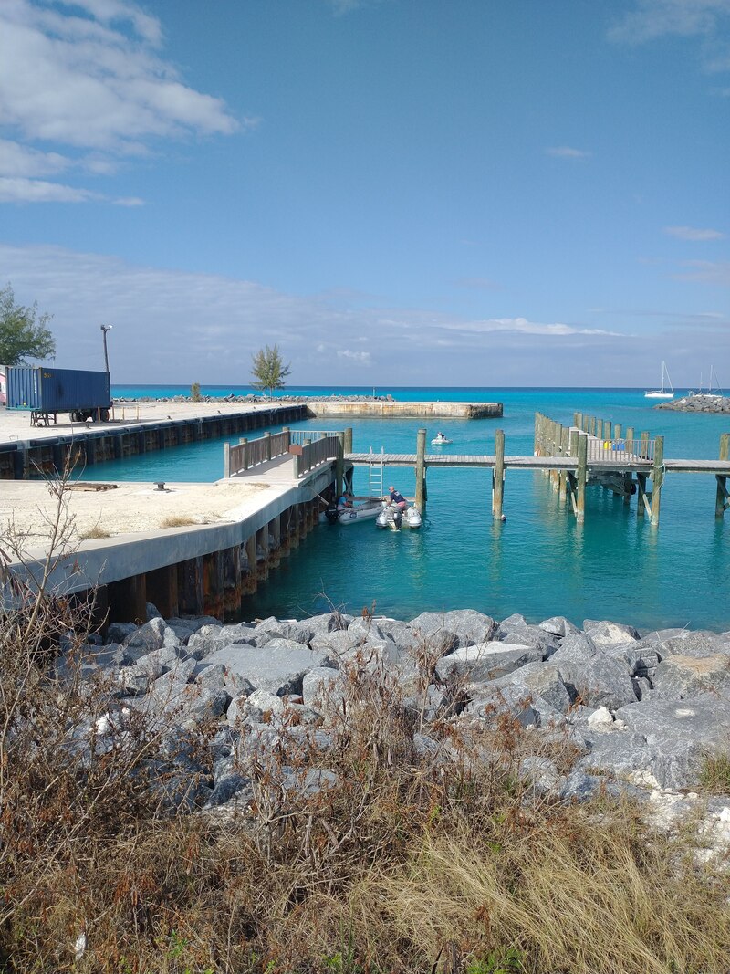
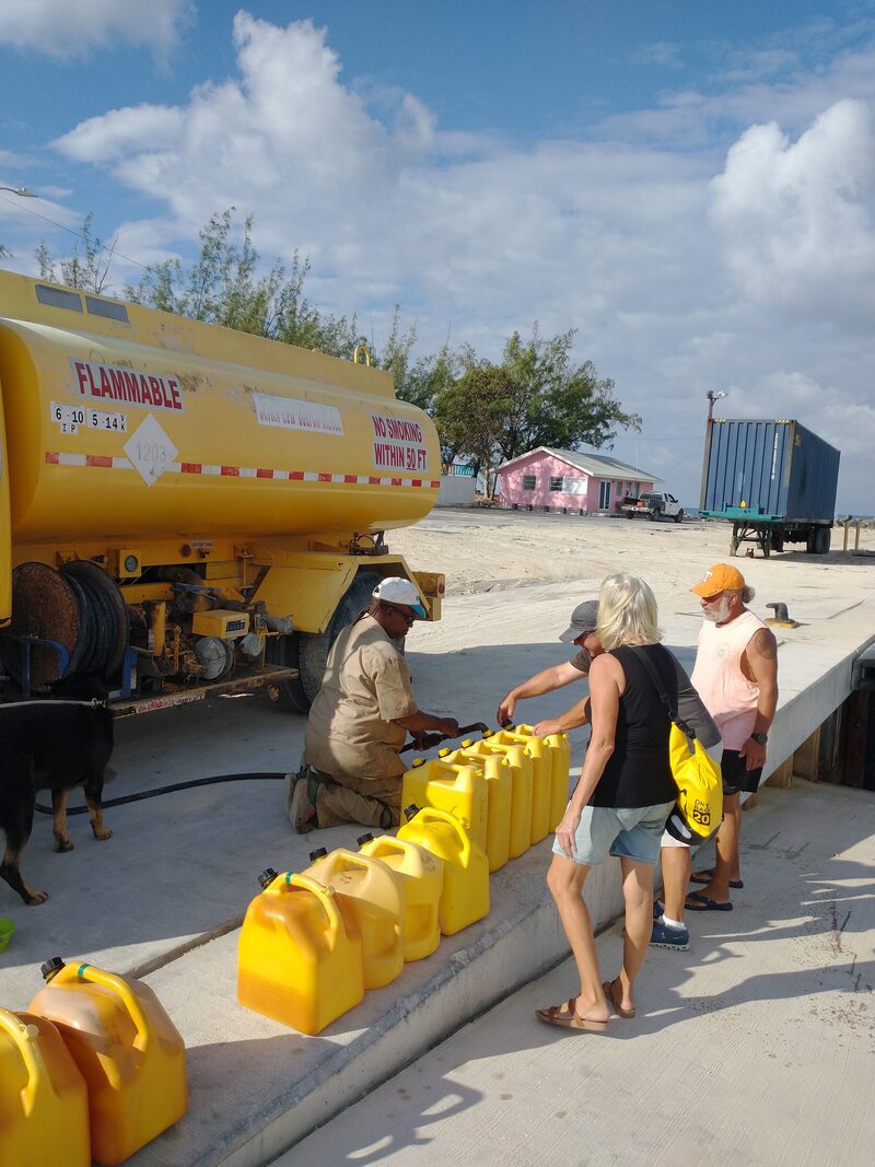
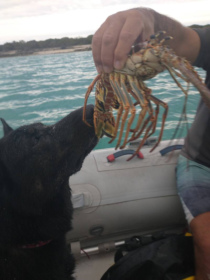
Our time in Matthew Town, Great Inaugua was short. Just two days after we arrived, a good window to make the 24-hour sail to the Ragged Islands had opened up. It is the exhausting part of this lifestyle for me. Having not yet fully rested from our last overnight sail (from Luperon), we had to immediately start preparing for the next overnight sail. We kept our eyes on the prize though. The Ragged Islands are renowned for their beaches and active coral as well as their remoteness from the hustle and bustle of cruising life. We were excited to go there. The first thing on the agenda was getting diesel. Having just completed 28 hours of mostly motoring during our wind-less trip from Luperon, we knew our 55-gallon diesel tank would need topping up. We carry six 5-gallon diesel jugs on the deck of Wild Horses and, sure enough, it took four of them to fill up the tank. The Matthew Town marina doesn’t carry diesel but they will order a tanker to come in if you give them a few hours notice. That is, as long as the tanker itself has diesel. This was the issue we ran into last spring when we were in Matthew Town headed south. The tanker was empty and wouldn’t be filled for at least 3 or 4 days. Our only option for diesel then was to buy what ended up being sub-standard diesel from a guy in town. That diesel burned fast and made for a very interesting ending to our journey across the Mona Passage to Puerto Rico. This time, however, the diesel truck was full and ready to deliver clean, good diesel to Wild Horses and our buddy boats Caretta and Rode Trip.
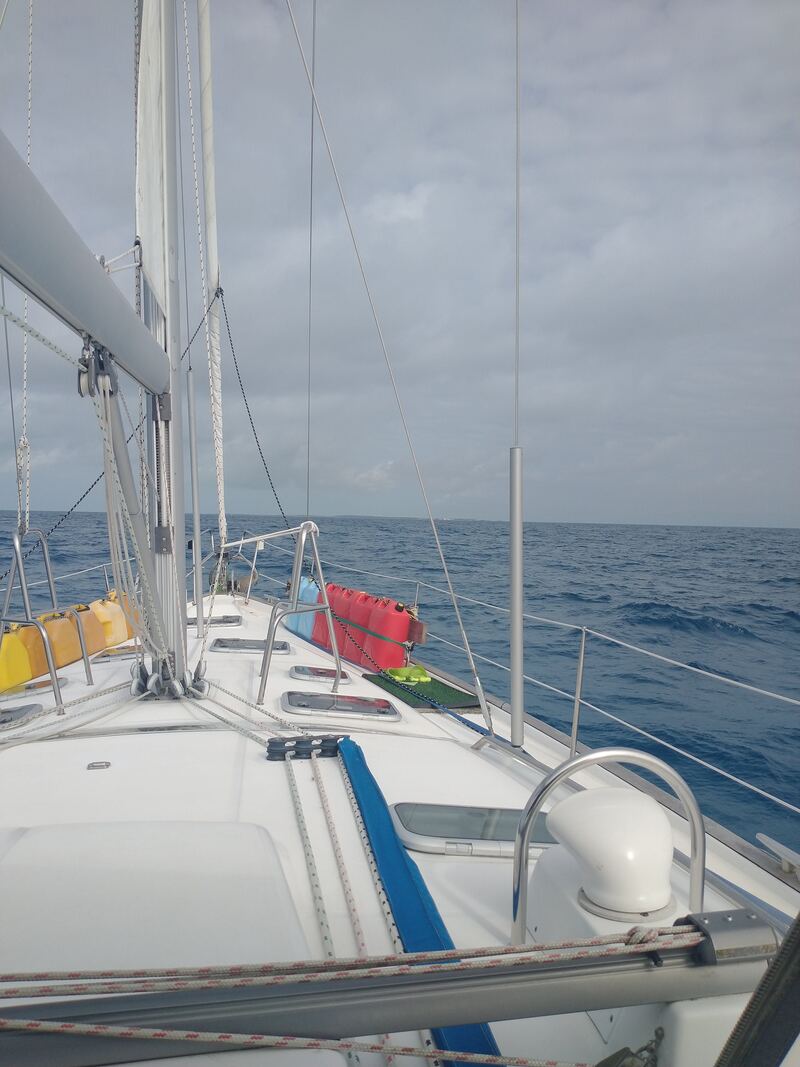
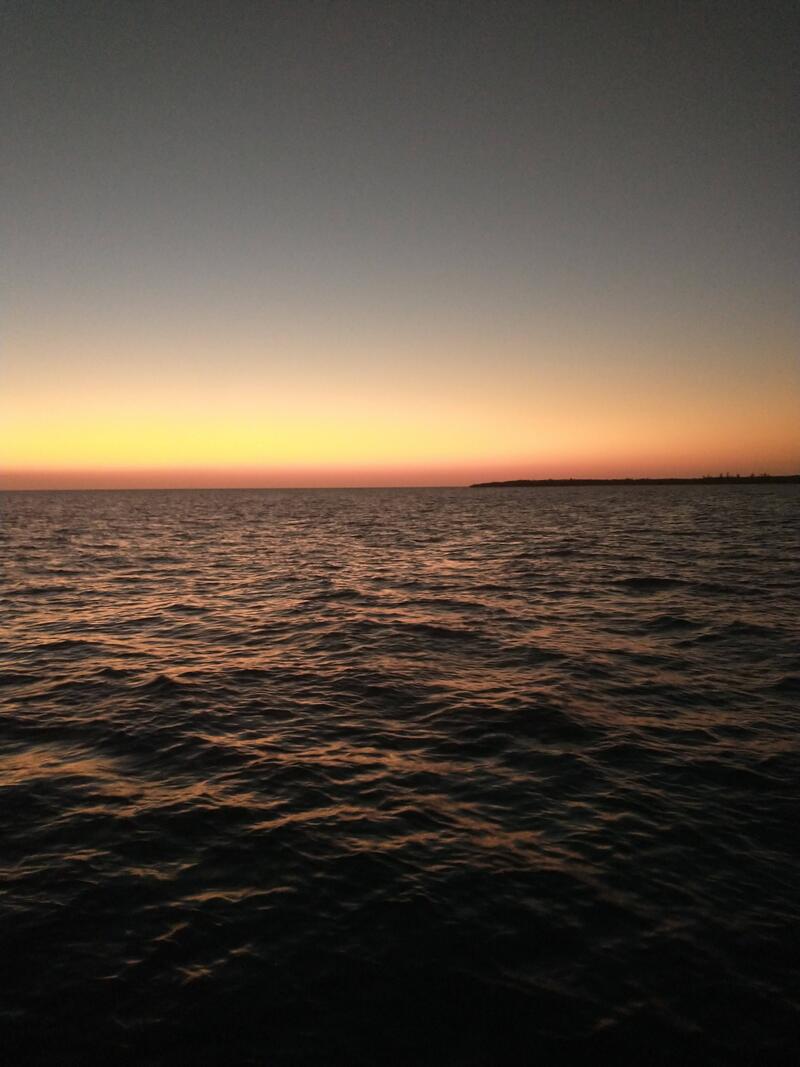
With our diesel tank and jugs full, next on our to-do list was to buy some “walking around” data for the Bahamas. We have Starlink on Wild Horses so we have unlimited data while we are on the boat. We have found, though, that we like to use maps on our phones while we are off exploring a town or trail. For this, we need a local SIM card and some data. Usually, this cost anywhere from $5 to $20. This is the Bahamas so our BTC SIM card was on the higher end. All three buddy boats then took a walk through town. There is just one grocery store on the main street of Matthew Town, and although there are many, many little shops along the way, most were boarded up or just closed. It was eerily quiet. Thankfully the grocery store had exactly what we needed – affordable cheese and eggs. We also picked up a dozen of the most tasty Gala apples we have eaten since Canada. Yum! On Friday morning, we weighed anchor and headed towards the Ragged Islands, a cluster of remote islands that are part of the Outer Bahamas. It was a rough and rolly trip, with a bigger swell than foecasted along with strong winds, mostly on our stern, making it difficult to maintain our point of sail. By the time we could see the Ragged Islands, we were exhausted.
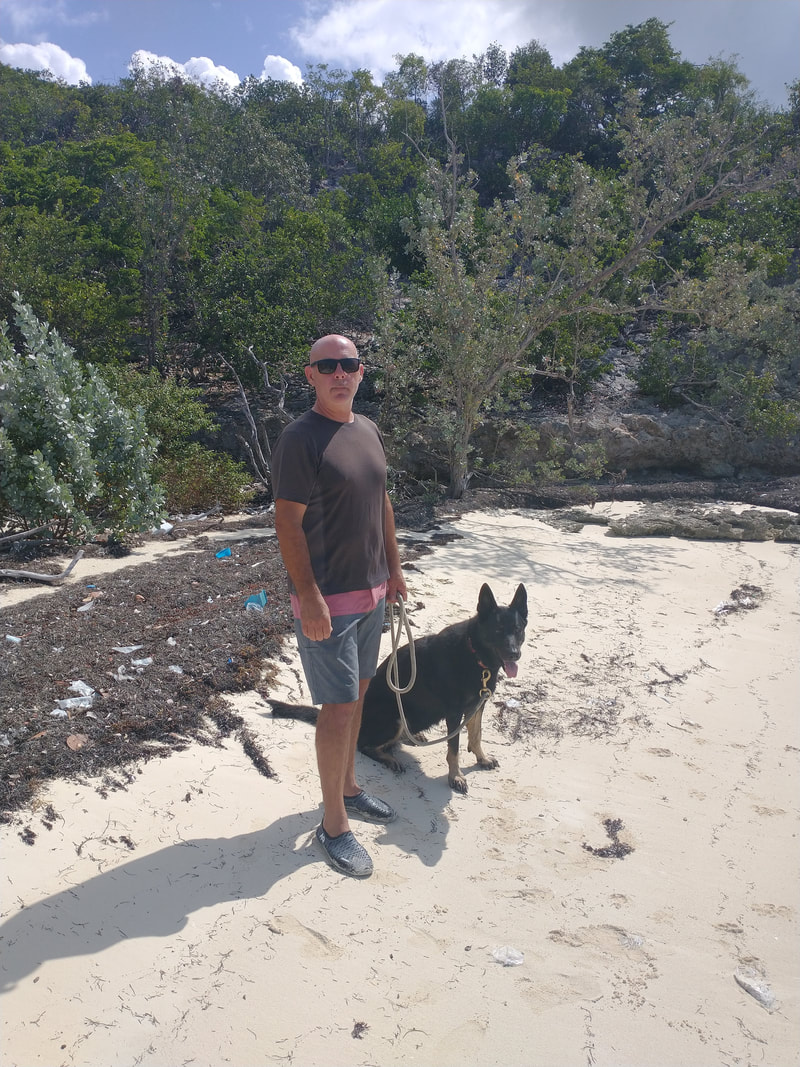
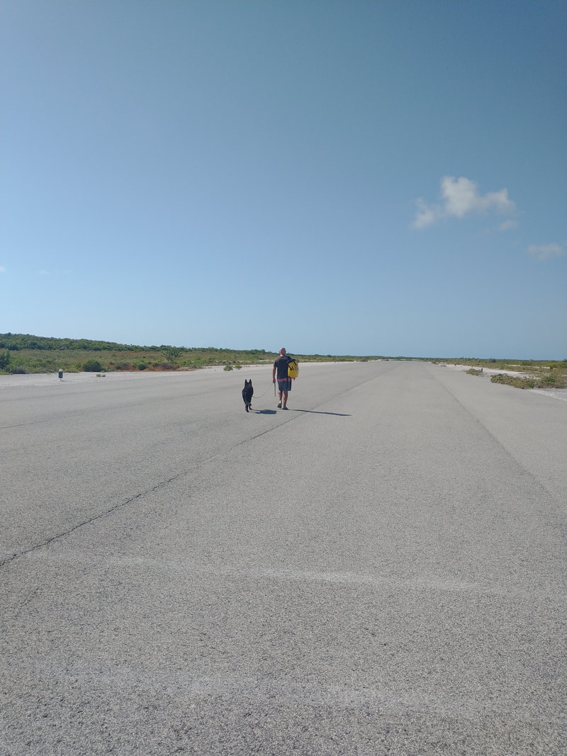
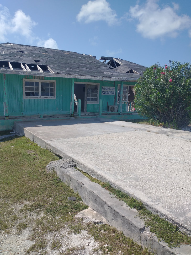
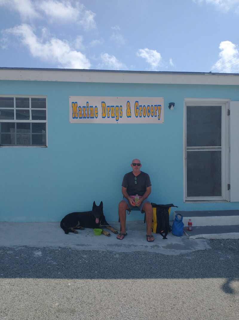
We put our anchor down in Southside Bay, a wide open and sandy anchorage near the southwest corner of Ragged Island. We quickly dropped our dinghy and took Ocean into shore for some relief and a walk to Duncan Town, a small village about 30 minutes from the anchorage. But this was no ordinary walk! After beaching the dinghy, we walked through brush to get to a dirt road that led us to the airport runway, which we had to cross to get to another dirt road that finally led to the main paved road into town. We have never before had to cross an active runway as part of a trail! Duncan Town was quieter than we expected for a Saturday. There was one restaurant, a defunct police station and several houses, some brand new and others just shacks. And there was Maxine’s Grocery Store. Although tiny, it was stocked with a variety of pantry goods and fresh vegetables. You couldn’t do a full shopping trip here but they certainly had enough goods to fill in a few missing gaps in one’s food stores.
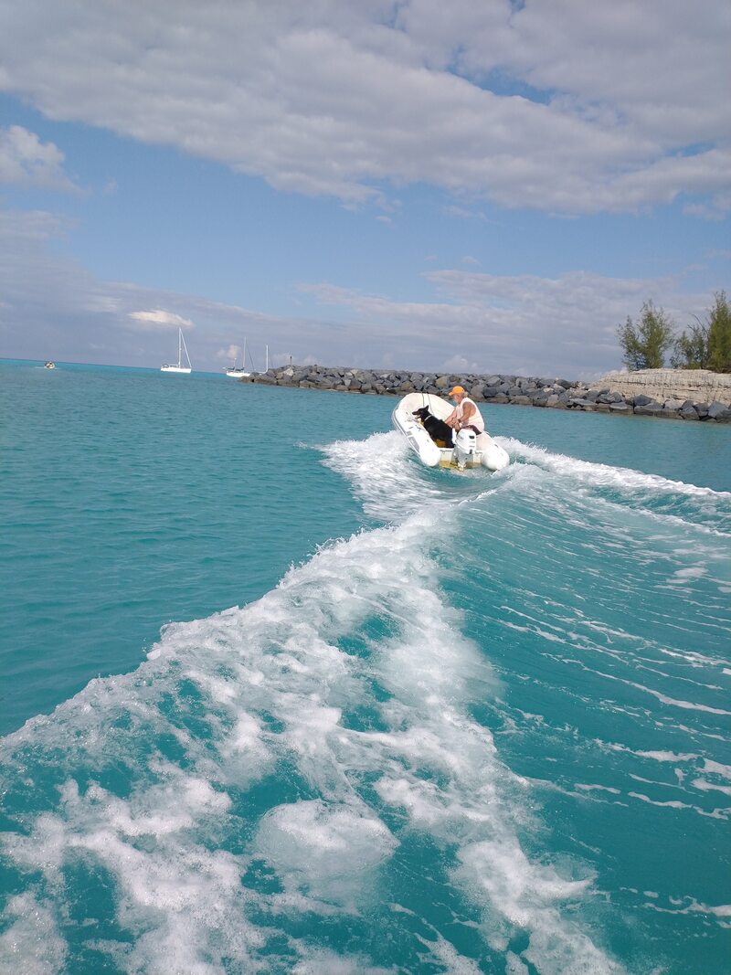
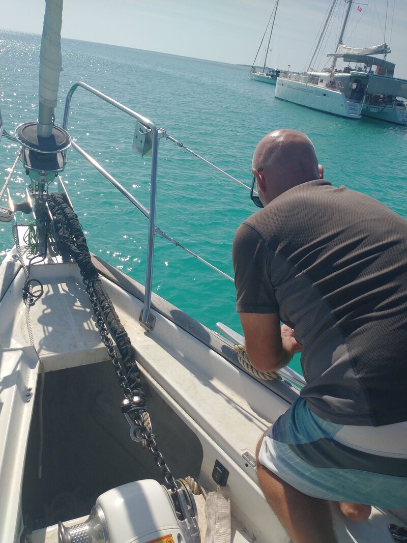
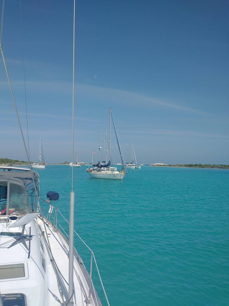
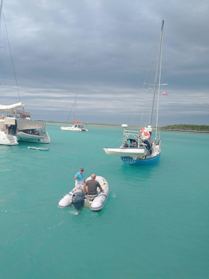
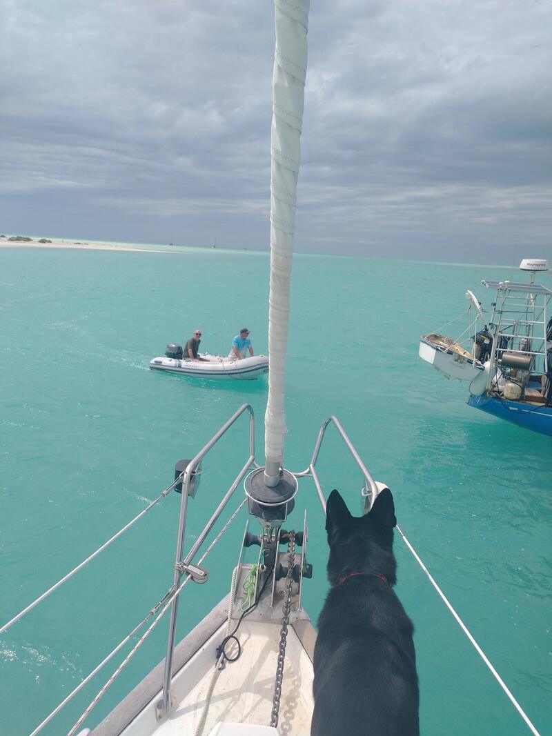
The next day, the swell was up a bit in our anchorage. This doesn’t usually bother us much when we are on the boat but getting in and out of the dinghy can be a bit of an adventure with the boat bucking up and down. We decided to check out the adjacent anchorage “Between Raggeds” which looked like a calm alternative to Southside Bay. We jumped in the dinghy and rode to the anchorage, which sits between Little Ragged Island and Ragged Island. All 15 or so boats here looked very comfortable. No swell and just minutes from beautiful white, sandy beaches. Yes! The only caveat was depth. Wild Horses has a 5’9” keel so we are not comfortable if we see a depth of less than 6 feet. Our charts had the anchorage depth at just over 6 feet but the channel into the anchorage was as low at 5 feet. We would have to wait a few hours for high tide where we would gain another 1.5 feet. Mike, along with Steve from Rode Trip, took a depth sounder and, from the dinghy, checked out the channel right as we were approaching high tide. There was enough depth! All three boats made the move in through the channel and into the anchorage.
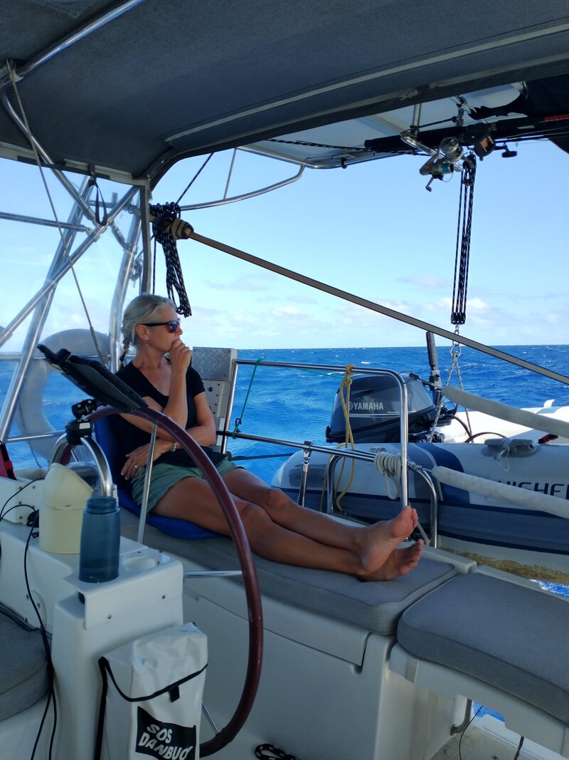
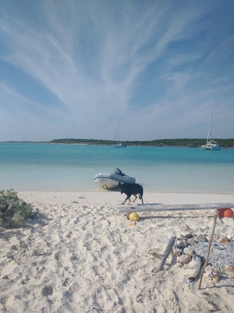
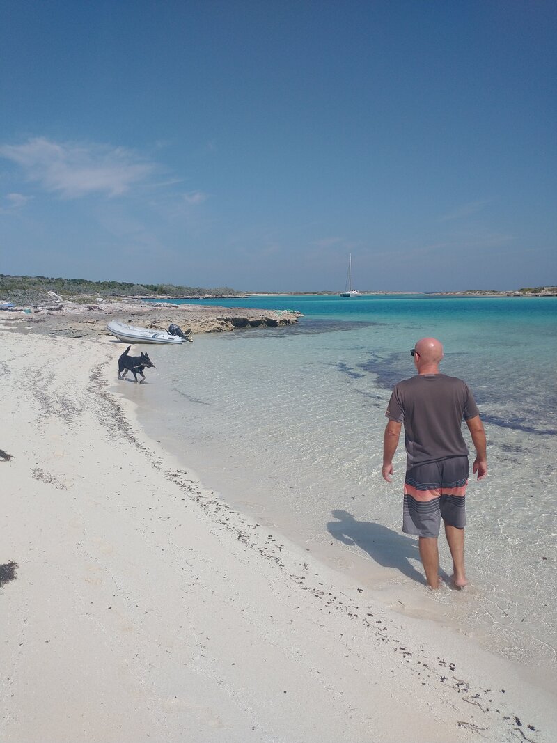
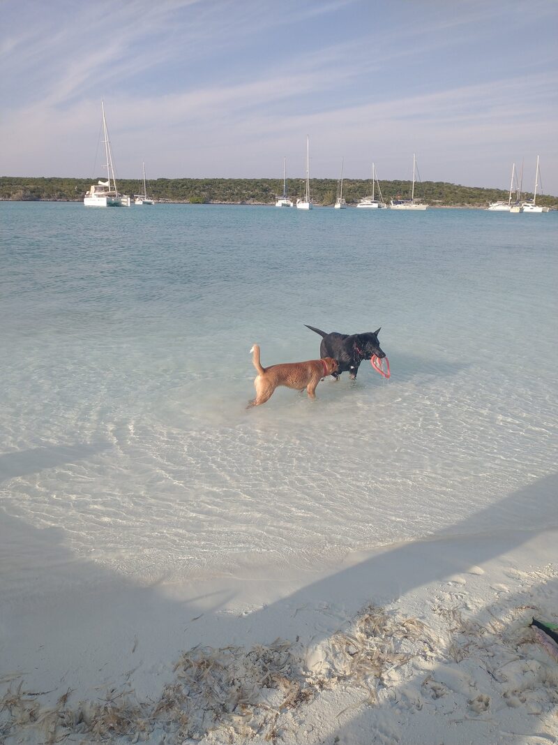
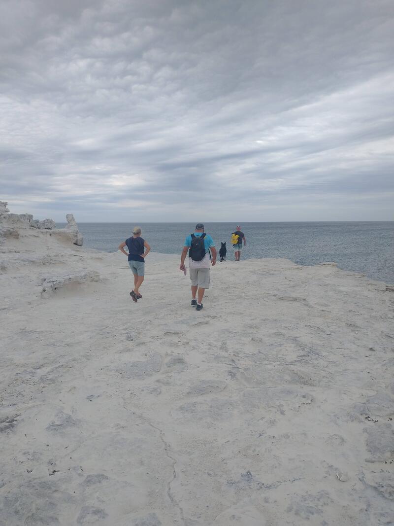
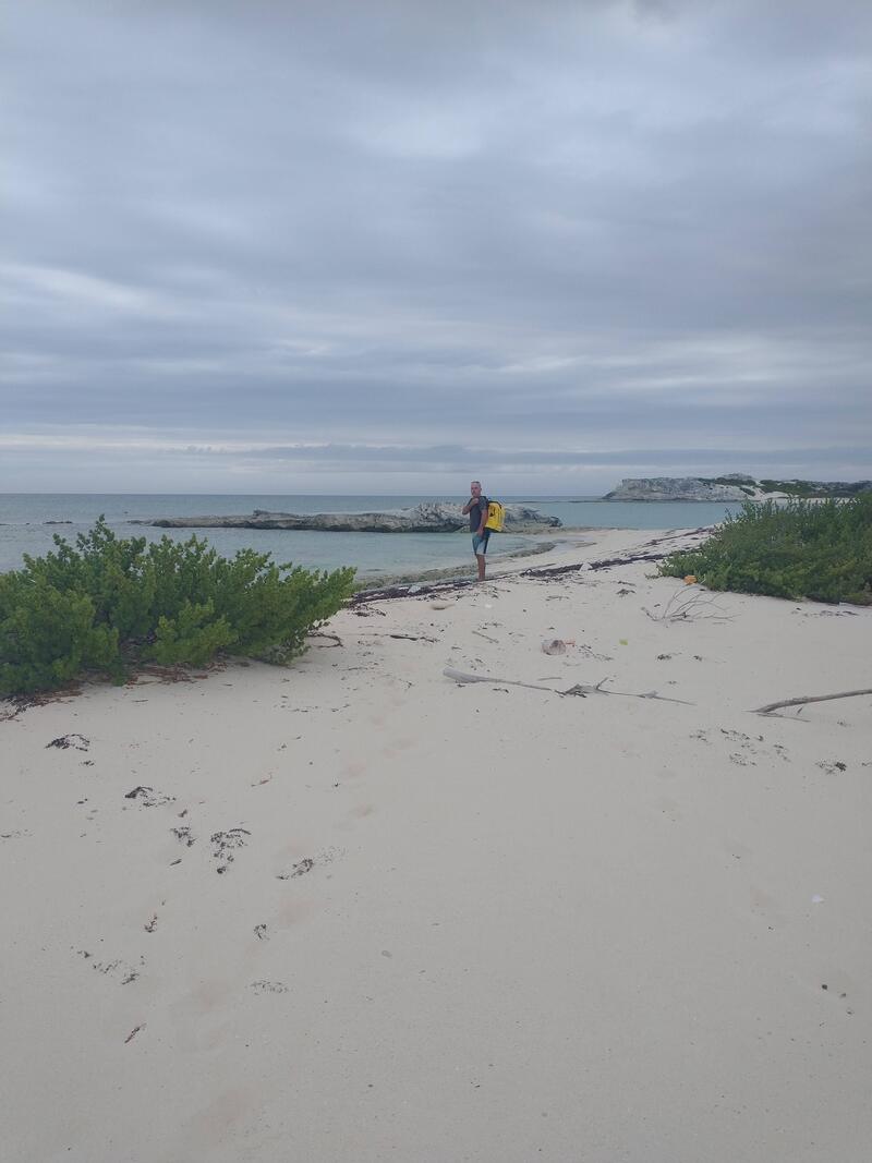
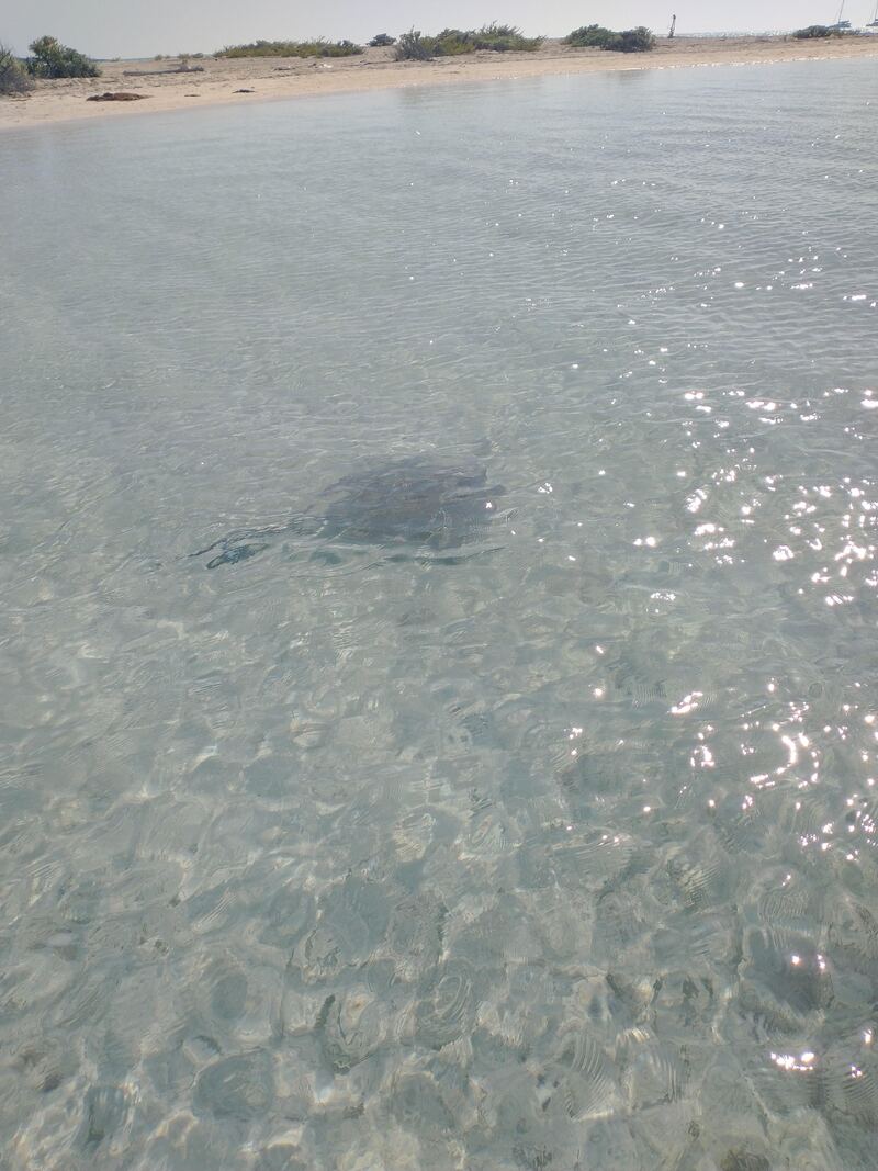
So far, we have mostly rested but we have found the time to do a few beach walks, make water, do some laundry and hang out at the evening beach get together where the dogs can play and the people can chat, all over a few sundowners. Over the next couple of days, we hope to get in some snorkelling to check out the active coral and sea life out here in the Raggeds. These are glorious days!
Click the buttons below to know where we are today and where we plan to sail next.
Comments are closed.
|
AuthorVictoria is a hiker, dog-lover, blog writer and planner extraordinaire. Oh, yeah and she is kind of fond of living on a boat. Categories
All
Archives
June 2024
|
 RSS Feed
